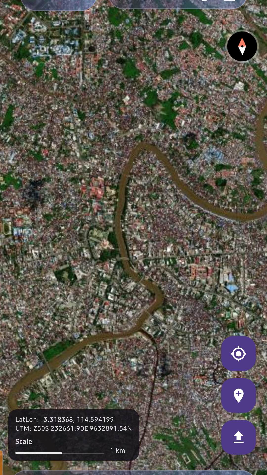
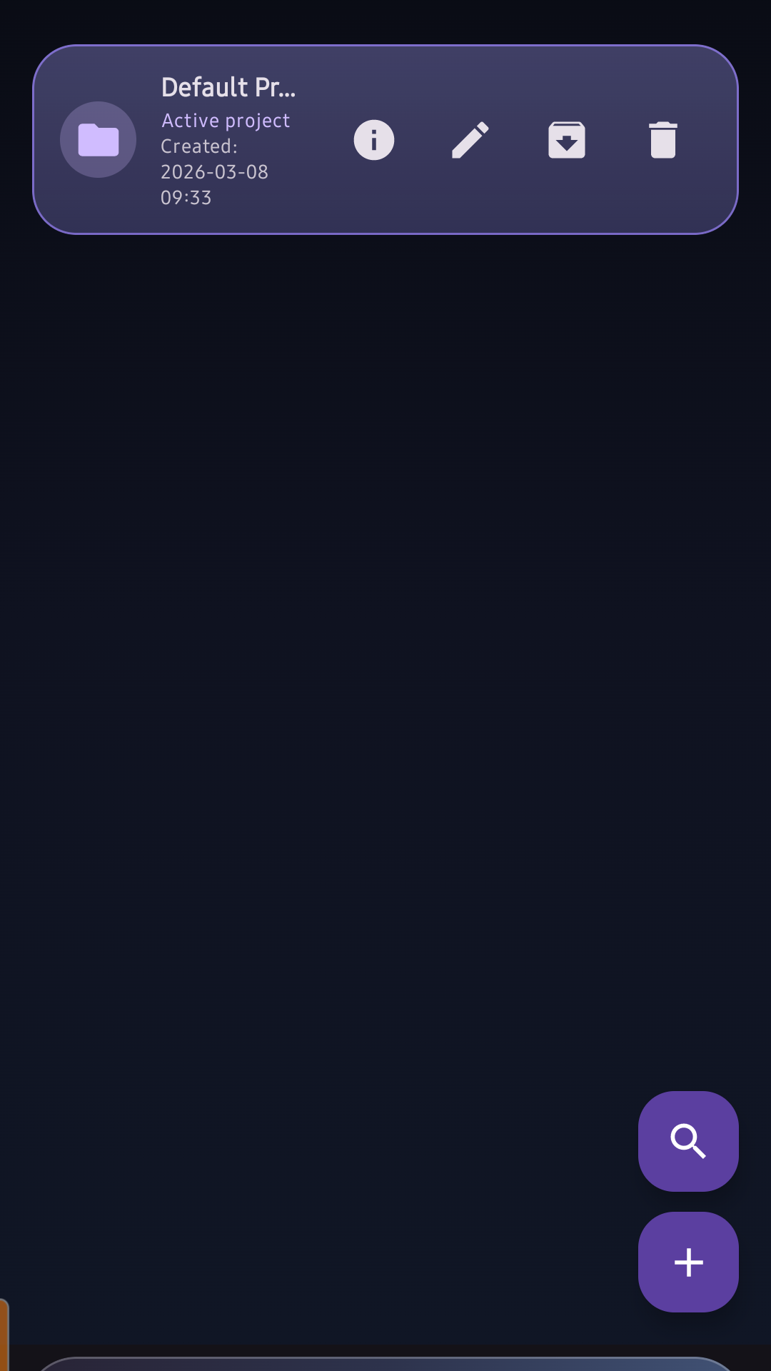
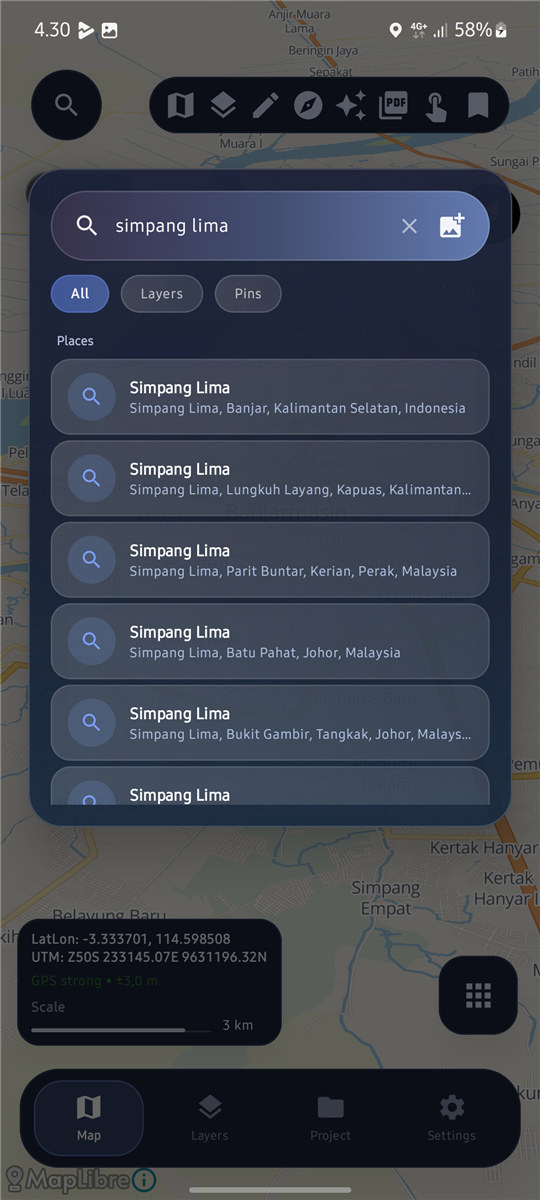
Map & Layers
Android
Offline-ready
GPS-enabled
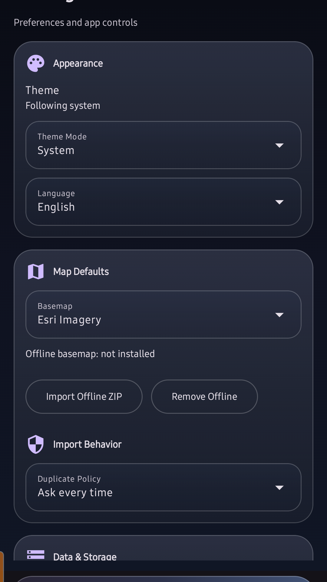
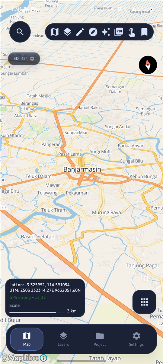
- Map view: OSM, OpenTopoMap, Esri Imagery, Planet Monthly.
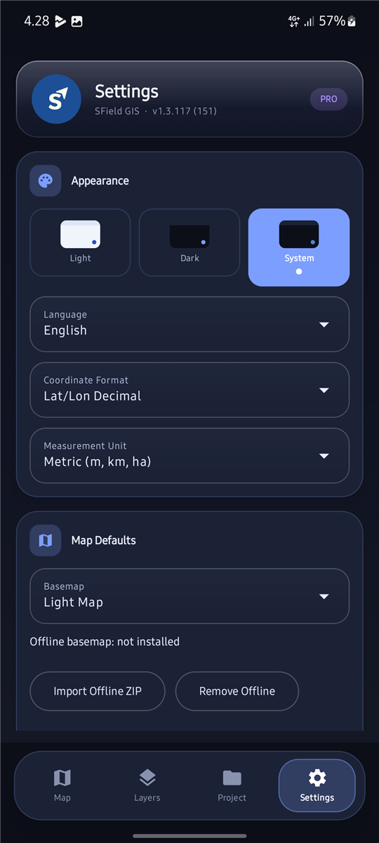
- Offline local basemap (XYZ tile ZIP).
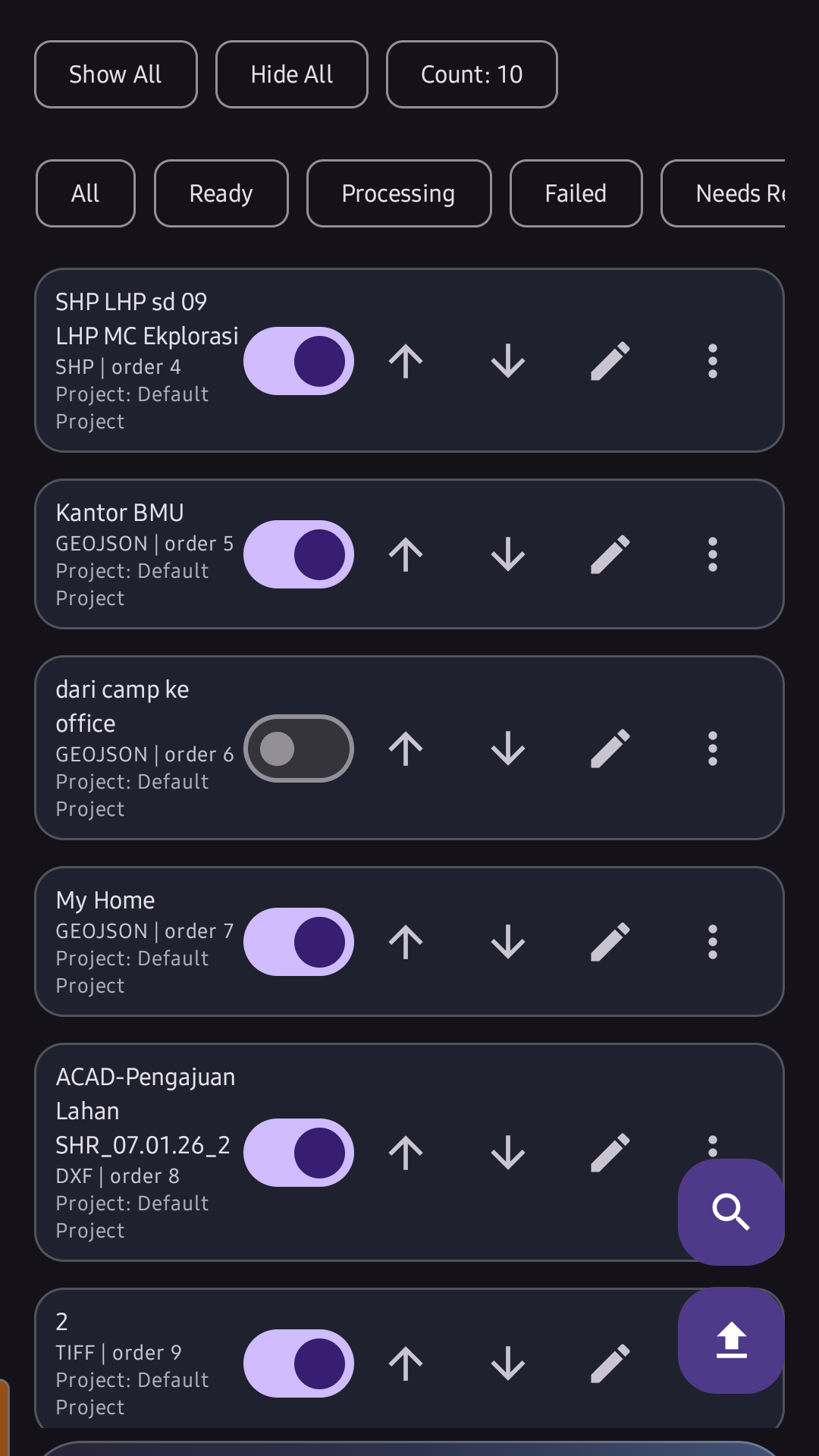
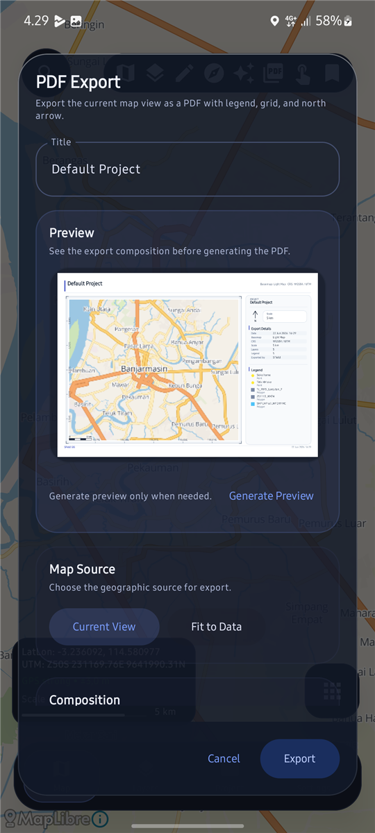
- Layers panel: visibility, reorder, style, opacity, attribute table.
- Draw Point, Line, Polygon, Box & Circle preset — saved as layer.
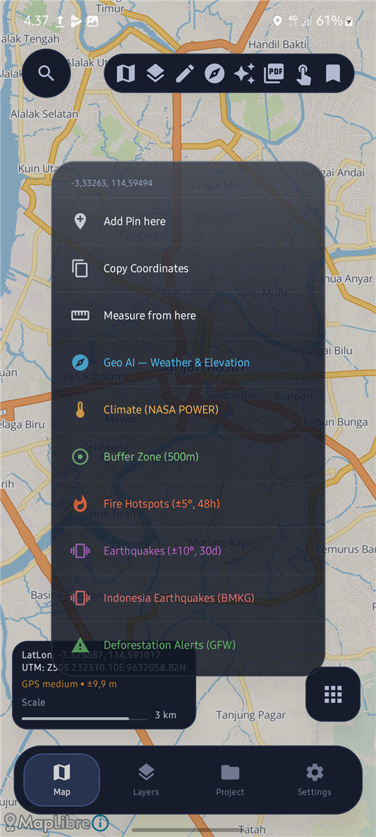
- Live coordinate overlay (LatLon + UTM) with copy tools.
- Measure distance, length, and area — saveable as layer.
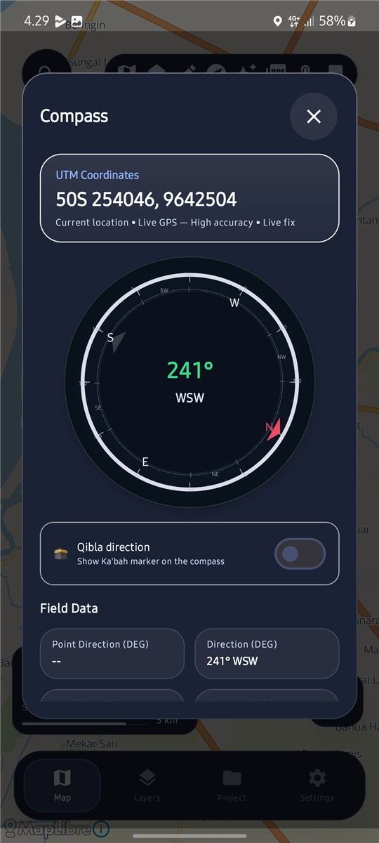
- Compass panel: heading, UTM, speed, elevation, calibration.
- Track recording: start/stop, stats (distance, duration, speed).
- Pin/field marker with title, coordinates, and photo.